Lidar-Equipped Truck Knows Exactly How Much De-icer to Apply on Roads
Lidar will likely be best known to readers as part of the core tech that allows self-driving cars to figure out what is taking place around them. A laser-based technology, lidar constructs a depth-based image of the world by firing lasers and then measuring just how long it takes for the reflected pulse to be bounced back to the sensor.
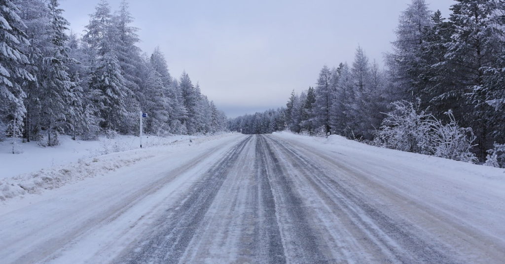
The City of Knoxville, Tennessee, has other, more festive applications in mind for the technology, however. For this holiday season, its public service crews are using a new de-icing device created by the Department of Energy’s Oak Ridge National Laboratory and the University of Tennessee, Knoxville. Utilizing lidar technology, along with big data analytics, they are working out the optimal amount of brine — used as an anti-icing agent — to spray on roads. The results could save money — and, potentially, lives.
The team has developed a system called the Road Vulnerability Index, which divides the road into segments of around 50 meters in length. This involves quantifying variables such as road elevation, the measure of diffused reflection of solar radiation from snow, wind speed, air temperature, freezing temperature, dew point temperature, rainfall, and the number of days since last snowfall. This information is then combined with lidar data to create a brine level prediction.
“The lidar data specifically helped to estimate the solar irradiation value for each road segment,” Olufemi “Femi” Omitaomu, senior scientist at Oak Ridge National Laboratory, told Digital Trends. “This provides insights into which road segment will get enough sunlight to melt the snow or ice accumulation. … These metrics are used to classify road segments into four groups — least vulnerable, vulnerable, more vulnerable and most vulnerable — which informs how much brine or salt should be applied.”
For example, a road segment that is flat and gets enough sunlight is most likely to be classified as “least vulnerable.” Meanwhile, a road segment with high elevation gradient that is shaded by trees or buildings might be ranked “most vulnerable.” Rather than spraying salt uniformly, the more vulnerable a stretch of road, the more brine is laid down.
“With the precision de-icing technology, the amount of resources dispersed depends on the vulnerability of the road segment,” Omitaomu continued. “[That] means that the same amount of resources can be used to treat road segments but more efficiently. This will allow cities to get more road segments treated — hence, increasing the overall safety level of the city.”
For this winter, the smart de-icing tech is being used on just one of the city of Knoxville’s brine trucks. But provided that this approach is shown to be both cost-effective and useful in reducing traffic accidents, expect to see similar technology rolled out elsewhere in the future.